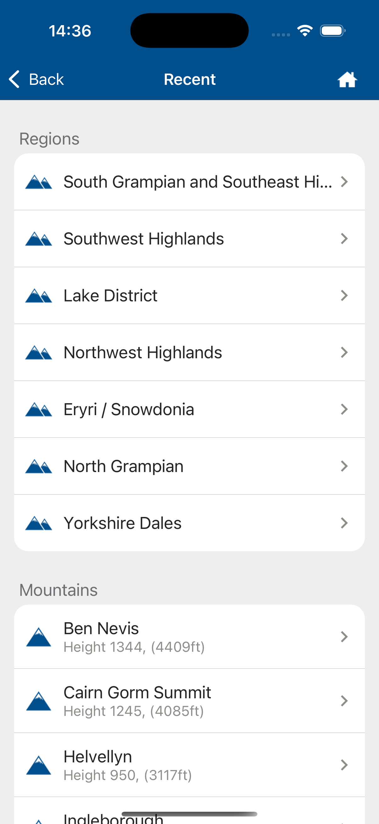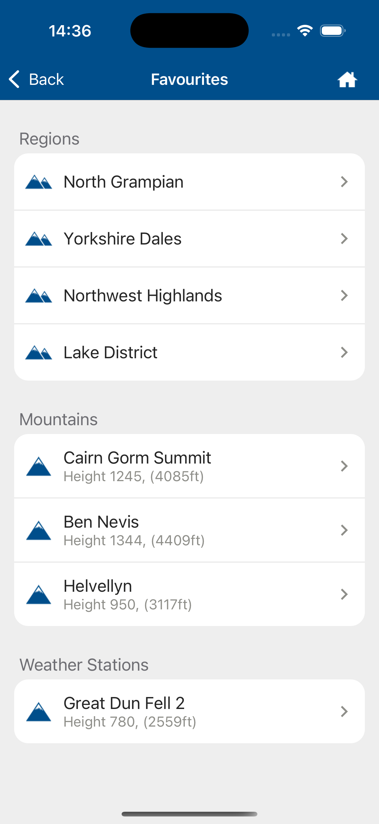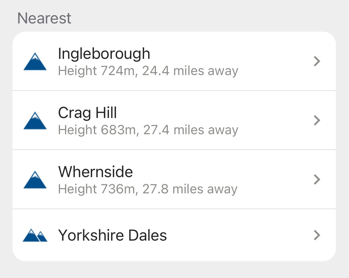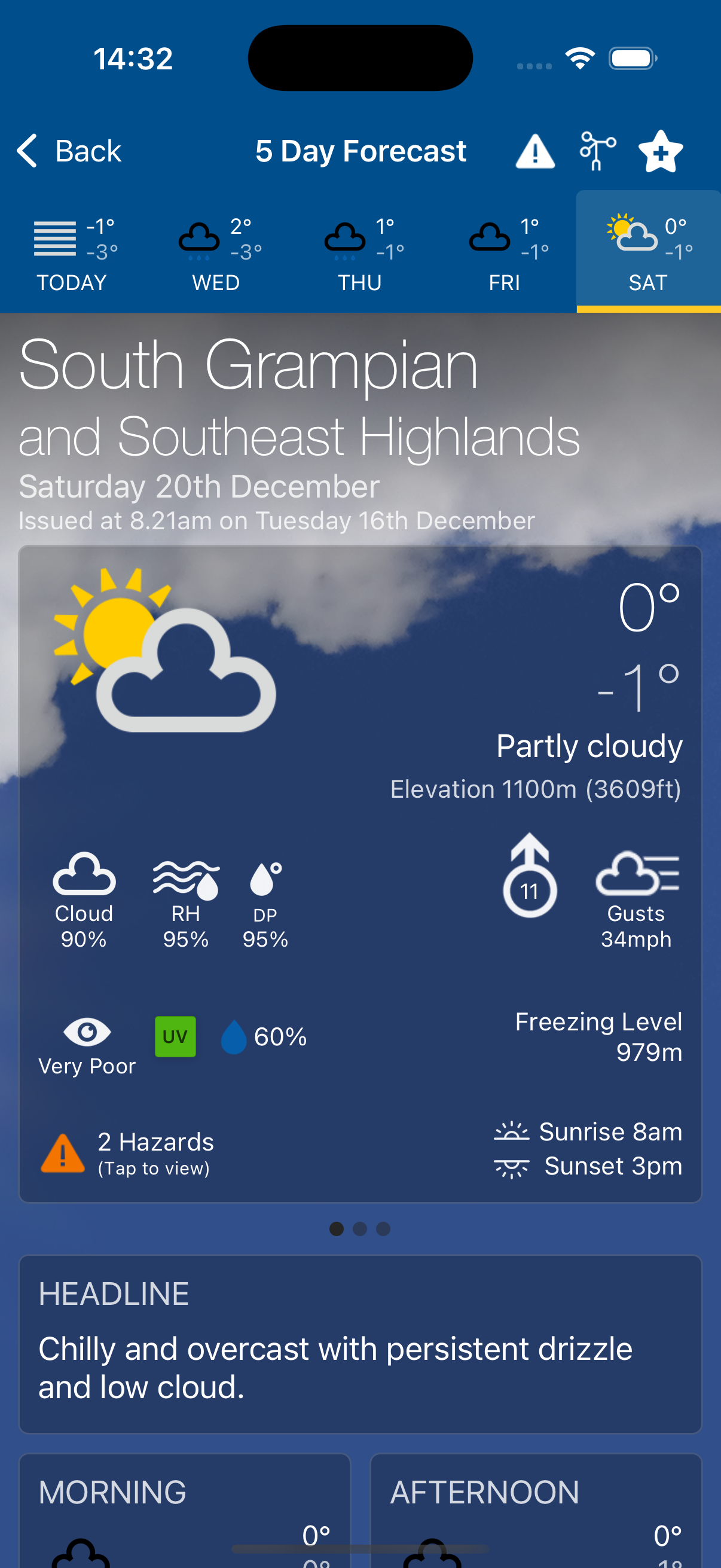
5 Day Mountain Region and Mountain Summit Weather Forecasts
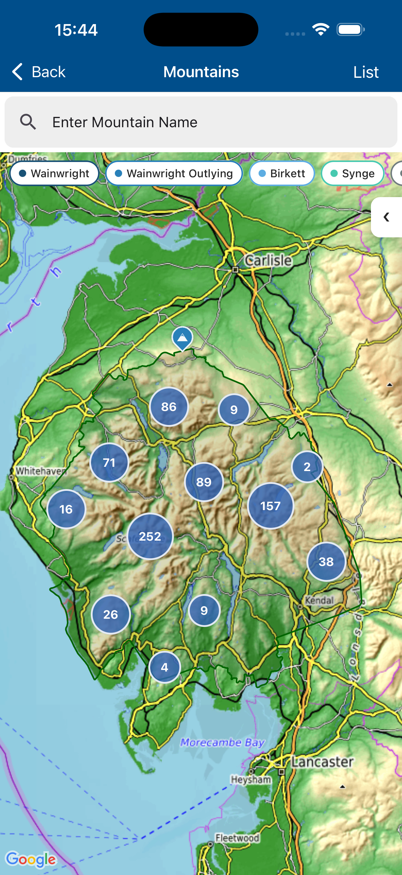
- • Covers 37 mountain and upland regions across the UK, Isle of Man and Republic of Ireland, with over 11,500 summit-level forecasts.
- • Get todays forecast Free; days 2-5 available with Pro subscription.
- • Daily forecast card showing weather type, max/min/feels like temp, elevation, cloud cover, Relative Humidity, Dew Point, Wind Speed & Direction, Wind Gusts, Visibility, UV, Precipitation Probability, Cloud Base, Freezing Level, Hazards, Sunrise/sunset.
- • Weather summary text cards: Headline, Morning/Afternoon, Weather Summary, Meteorologist's View,Pressure & Fronts, Temperature at 900m, Low Level Temperature, Max Wind at summit, Visibility & Hill Cloud at summit.
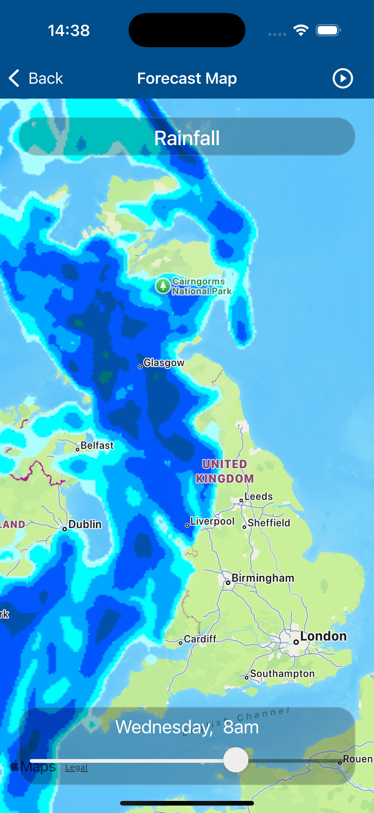
- • 3-hourly forecast periods showing Weather Type, Precipitation Probability, Wind Speed & Direction, Wind Gusts, Visibility, Cloud Cover & Cloud Base, UV & Freezing Level.
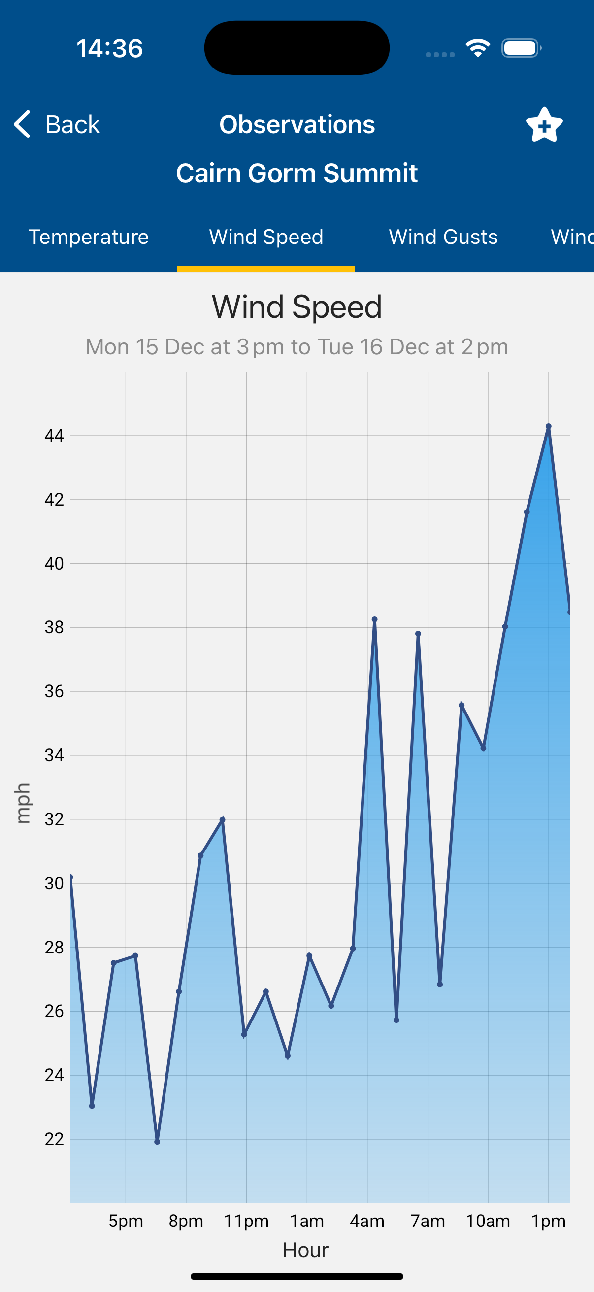
- • Elevation forecasts for Valley, 300m, 600m, 900m, 1200m and Summit levels providing Temperature, Feels-like Temp, Wind speed & Direction, Wind Gusts, Visibility (inc meters), Cloud Cover, Relative Humidity & Dew Point.
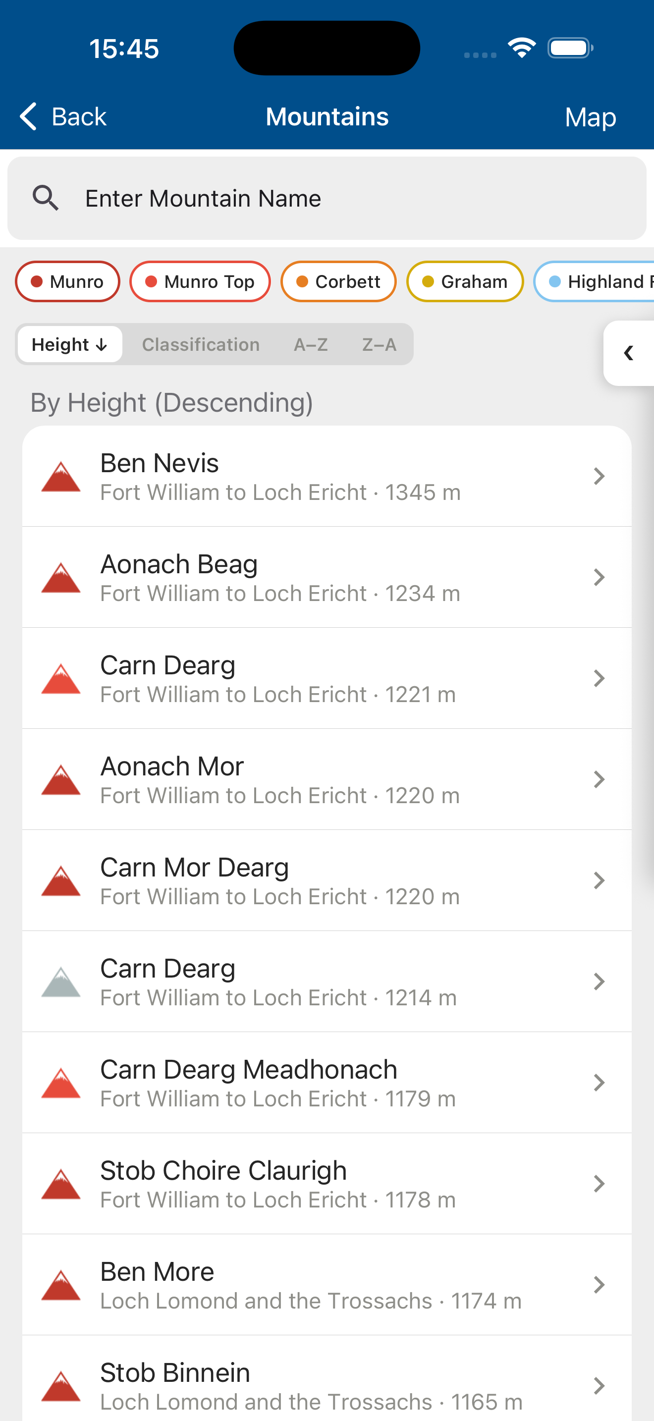
- • Each summit displays its hill-bagging classification (Munro, Wainwright, Corbett, Hewitt etc.).
PRO