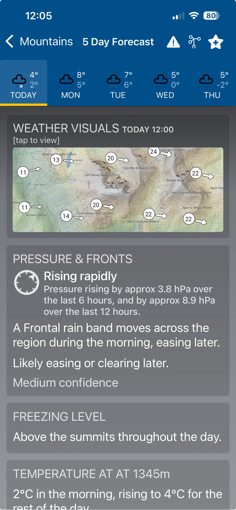
Mountain Weather Visuals
Zoom right in to a single summit and see the weather mapped directly around it — 24 hour wind flow, precipitation, temperature, cloud cover and freezing level, centred on the mountain itself. Available now for any of over 11,500 hills and mountains at or above 1,000ft across the UK and Ireland.
The Mountain Weather Profile chart takes an elevation profile of the mountain from West to East, showing cloud level and visibility alongside a terrain wind map — the wind speed range, mean speed and gusts across the terrain as you climb.