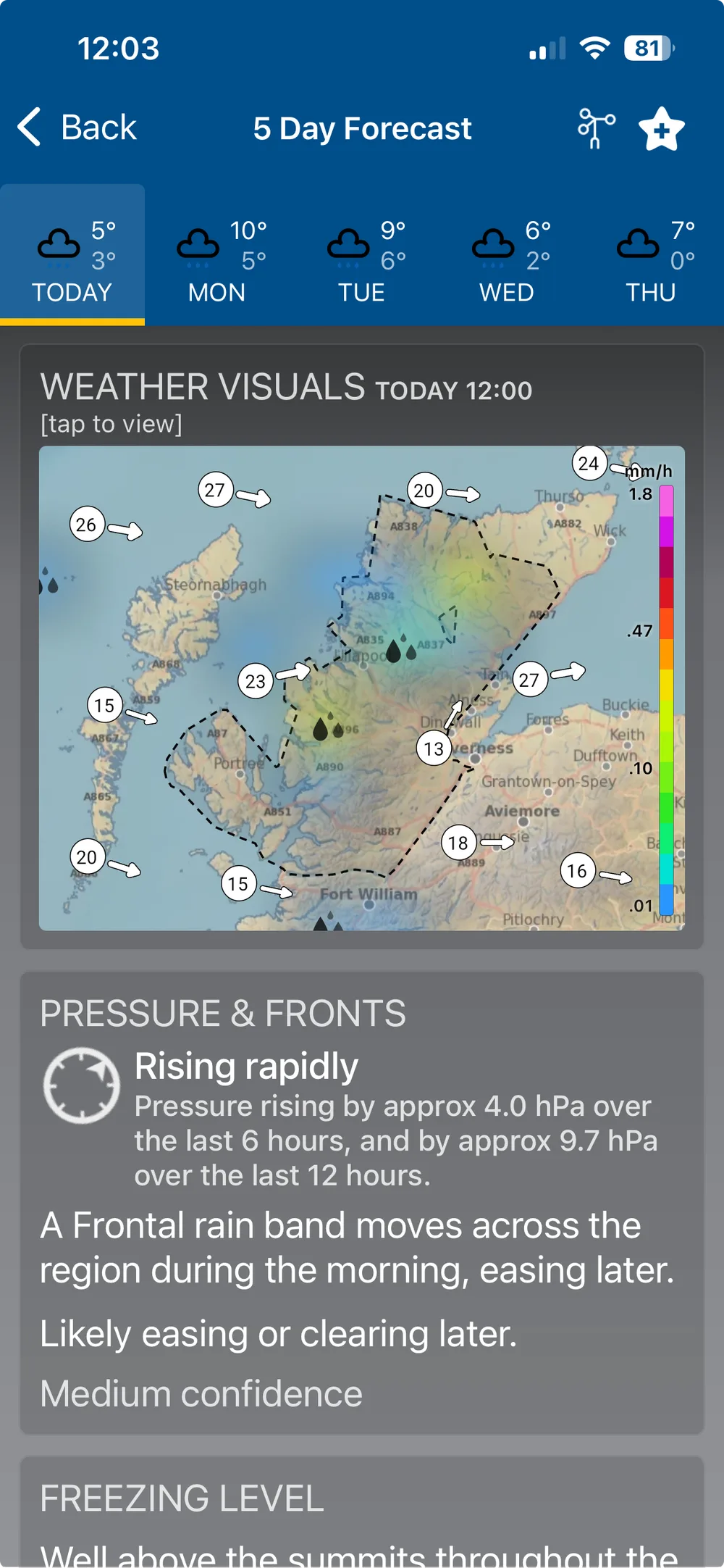
Region Weather Visuals
Regional visualisations put the bigger picture in context. Every mountain region gets its own interactive weather map showing 24 hour wind flow, precipitation, temperature, cloud cover and freezing level — available now for all 37 mountain and upland regions across the UK, Isle of Man and Republic of Ireland.
During midge season the region map can also show a 0–5 midge activity forecast overlay, so you know what you're walking into before you set off.
The Region Weather Profile chart takes a cross section through the region's key peaks, showing cloud level, visibility, precipitation, wind and temperature over 24 hours in one view.